
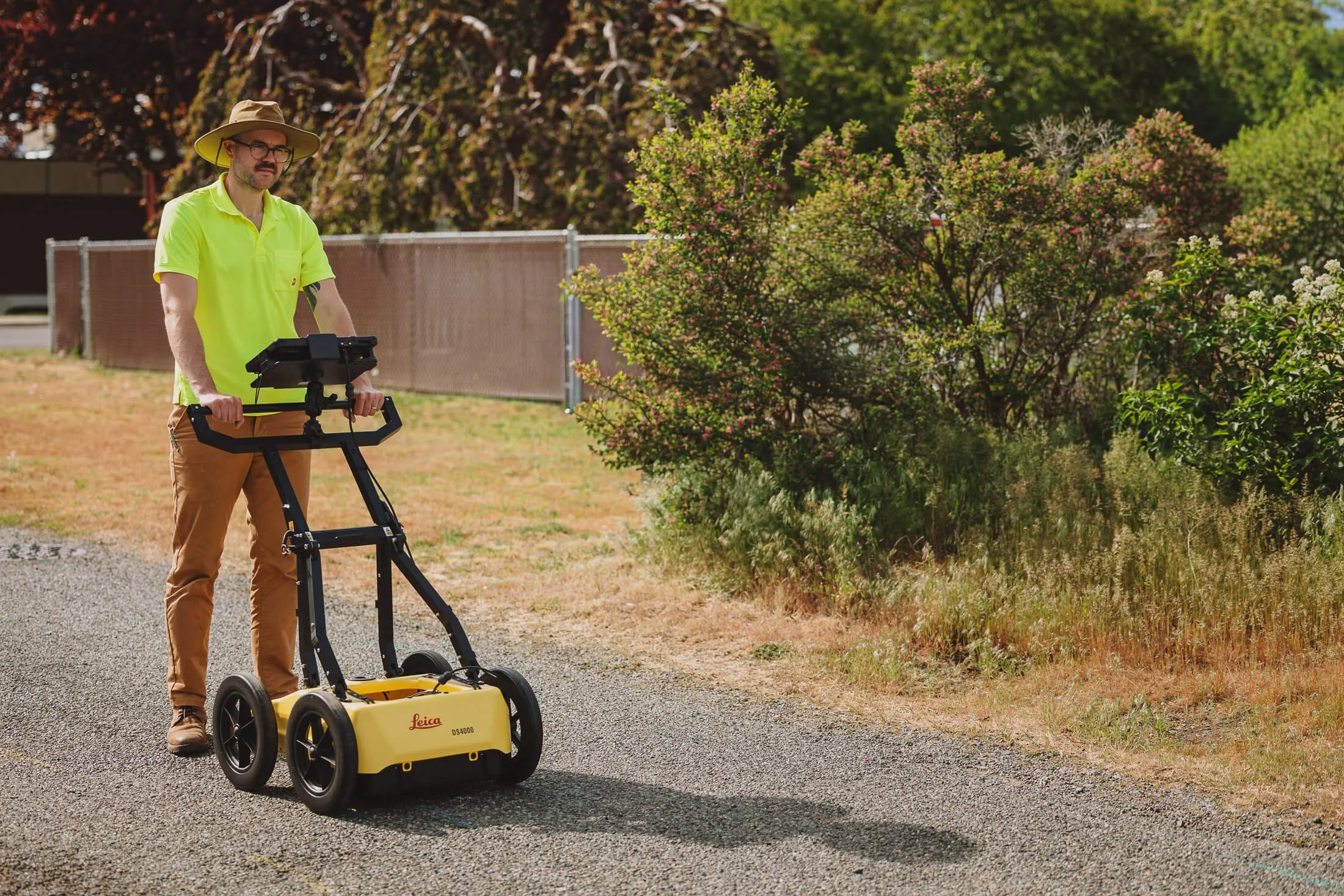
Cultural Resource Services
Cultural Resources and GPR
One valuable application for GPR is in the field of cultural resources. Cemeteries are a common location that benefit from having subsurface surveying and mapping because, particularly historical cemeteries. Because GPR is non-intrusive by nature, it allows mapping and surveying of known or expected burial sites by picking up buried headstones; it also offers the ability to identify likely burials or confirm burials in the absence of visible grave identifiers. By identifying areas with evidence of excavated burial shafts or buried caskets, GPR can help locate and map areas of lost or misidentified burials and help ensure future burials are done safely.
Other cultural resource applications include archeological and historical sites, which also require non-intrusive methods for surveying before breaking ground. Radar waves can pick up the remains of buried structures such as houses, waste middens, or earthworks which are now buried underground.
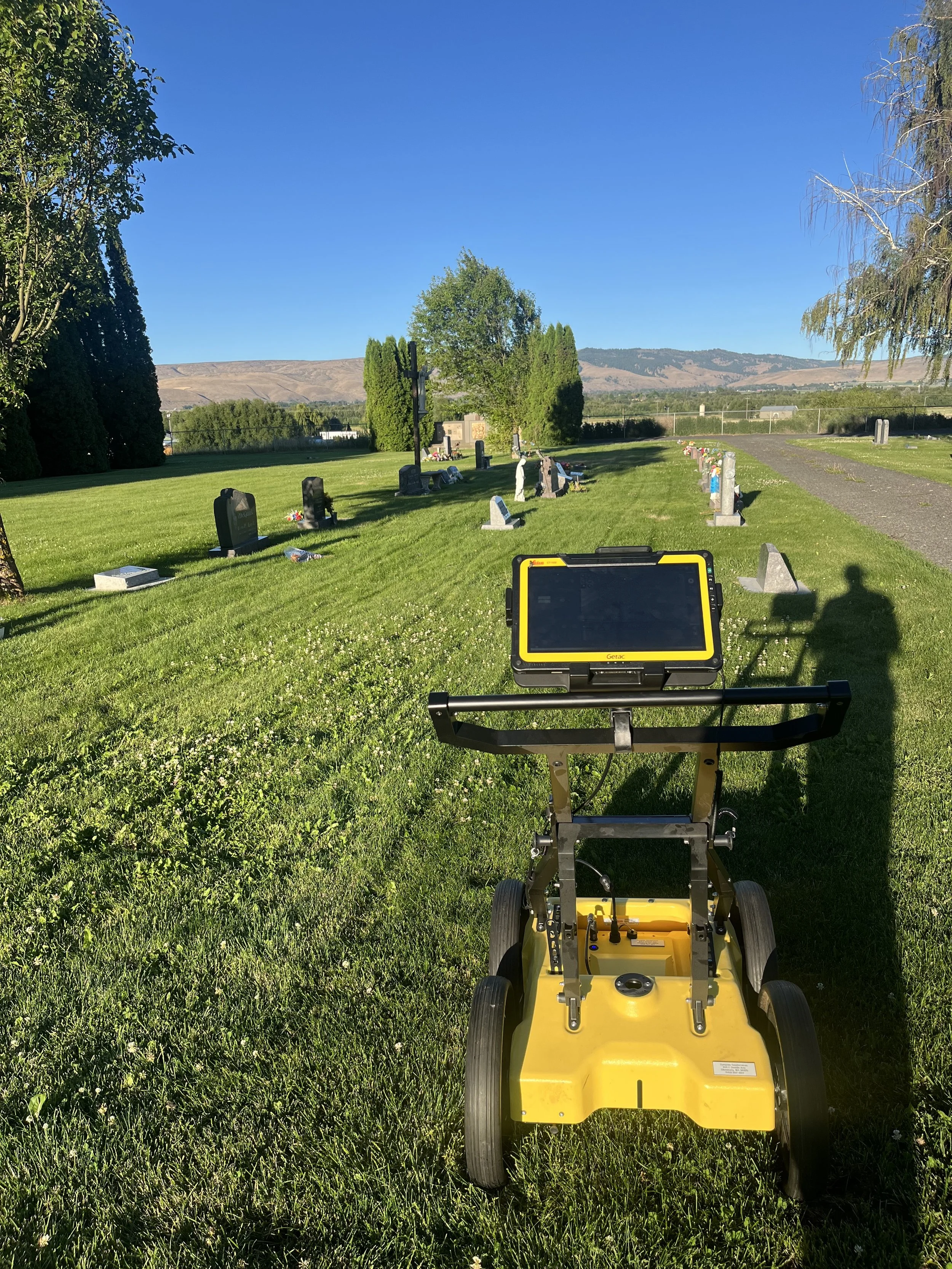
Cemetery GPR and Mapping
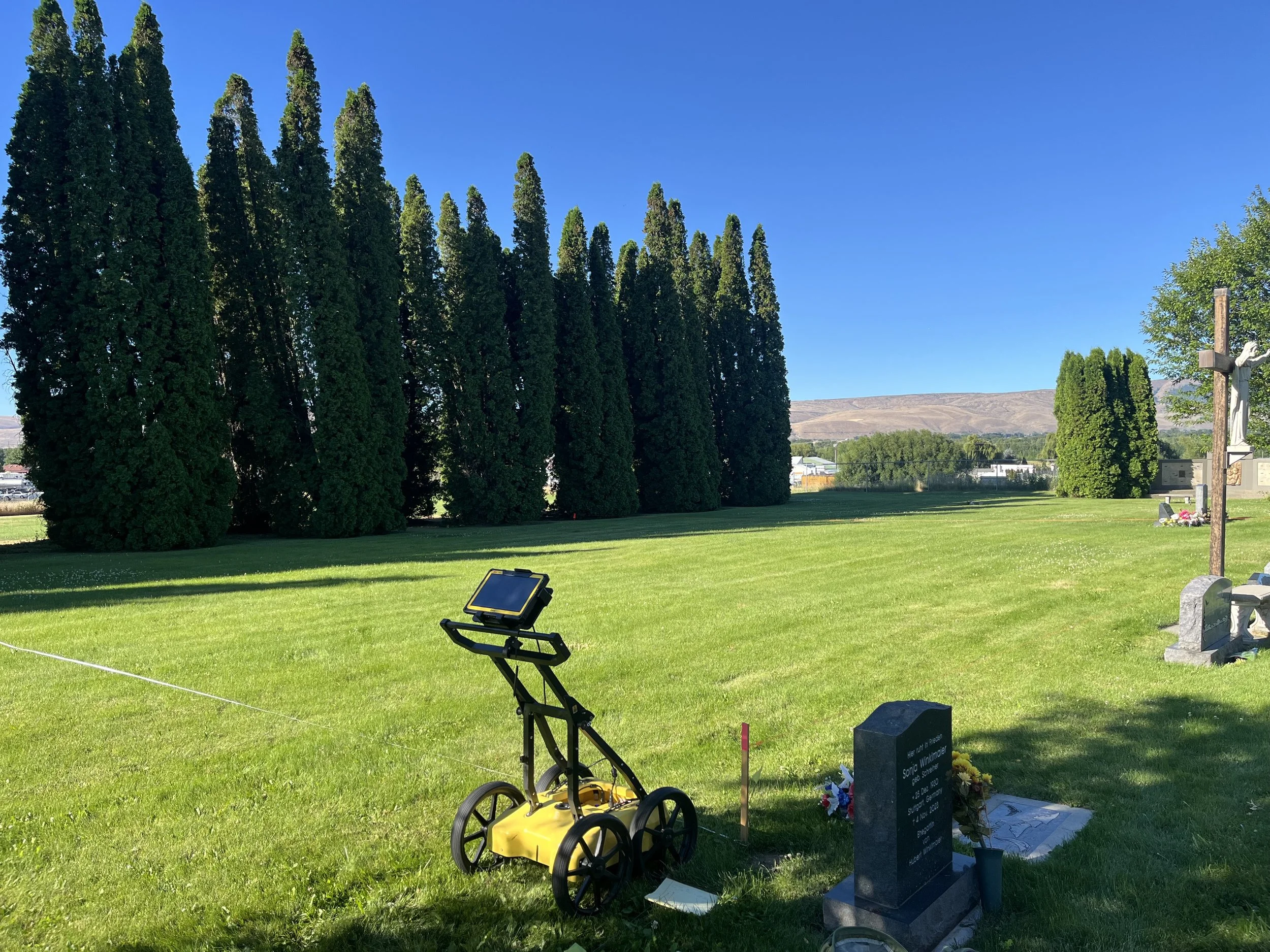
Dynamic GeoServices can assist with surveying historical cemetery sites to locate and map known gravesites and potential unidentified burial locations. By combining GPR scanning with high accuracy GNSS tools, we can map potential burials for recordkeeping and cemetery planning purposes.
-
Basic GPR scan of the site using defined grids to maximize interpretation of subsurface conditions.
Typically includes full site GPR scanning and marking, located asset points identified in a report with analysis.
-
Full basic service with added asset collection using high accuracy GNSS devices for scanned and interpreted findings, attributes table including depth and other known details for findings across the entire site. GPR scan and asset dataset is compiled and delivered in GIS and/or CAD compatible formats.
A full report is delivered for the site survey including detailed write up of GPR scans, points collected, and site conditions.
-
It is possible that you need more than a site survey or GPR scans with high accuracy data. Dynamic is pleased to provide custom scopes of work for customers working on larger, sensitive, or complex projects where developing deeper understanding of the below-ground environment is crucial to meeting project scope, timelines, and budgets.
We have experience working with government, private, and academic partners. If your project has specific deliverables or conditions that need to be fulfilled reach out so we can discuss how Dynamic GeoServices can help you accomplish them!