About Dynamic
Break ground safely and with confidence!
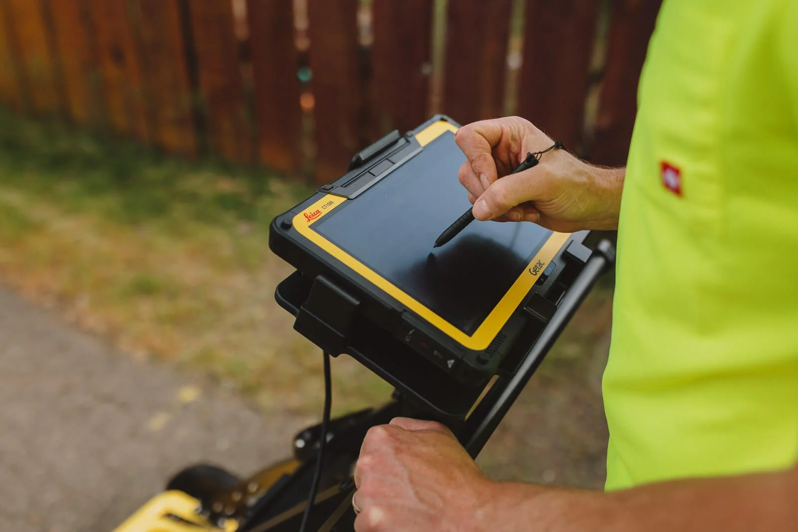
Dynamic GeoServices is a geospatial intelligence and subsurface investigation company specializing in ground penetrating radar (GPR), GIS-based site intelligence, and utility locating.
Unlike traditional locating companies that only provide utility marking, Dynamic integrates subsurface radar with geospatial analysis to produce decision-ready site intelligence reports with clear, actionable surface marking of buried utilities and conflicts.
Dynamic provides fast, reliable subsurface mapping and site intelligence reports for:

Municipal or Government agencies
Contractors
Private Developers
Public Works and Utilities Departments
Engineers
Meet the Team

Teo Bicchieri
Owner & OperatorTeo has a Bachelor’s degree from Central Washington University in Environmental and Resource Geography and a GIS Certificate. He also has a Master’s in Environment, Society, and Development from the University of Galway. He has experience in construction, environmental resource management and education, social services and has worked in municipal GIS for the last few years.

Teresa Bicchieri
Co-Owner, Communications & MarketingTeresa has a Bachelor’s degree in communications from the University of Portland and owns a photography business. She has a background in graphic/web design and marketing and also serves on the Board of Directors for Valley Theatre Company.
Our Services
Explore our range of site intelligence services designed to help your project move forward with confidence.
-
Scheduled and emergency utility locating services for residential, commercial, or right of way sites.
-
Dynamic offers scaled GPR services to suit your site and needs, from backyards to city blocks.
-
Underground utilities and other assets pose a threat to excavators when they cannot be located. Whether your data is inaccurate or nonexistant, Dynamic can create an underground site intelligence report that not only informs design and construction teams but that can be added into your existing geospatial database.
-
We know how much work it can be to collect your field data, particularly when its already in the ground. Utility emergencies sometimes turn into the only daylighting opportunity but they are never planned or convenient for your field crews. Locating, collecting, updating, and managing geospatial data is made easy with Dynmaic’s ongoing services program.